
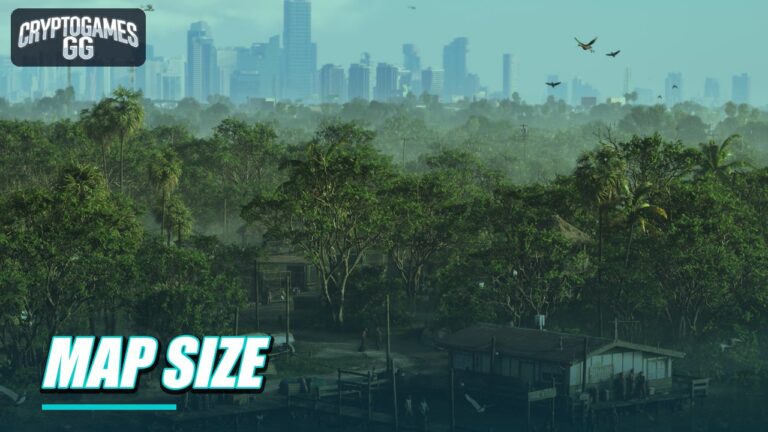




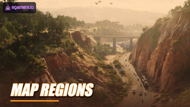


Rockstar hasn’t given an official size for the GTA 6 map, so every number in circulation is an estimate, and the estimates don’t agree. One guide puts the map at roughly 175 square kilometres, and another says about 300 to 340. The county names come from the community too, because Rockstar hasn’t released a list of counties.
Below, we compare what the launch-eve and pre-launch guides claim. Check again after launch: we’ll revisit this page as players report back.
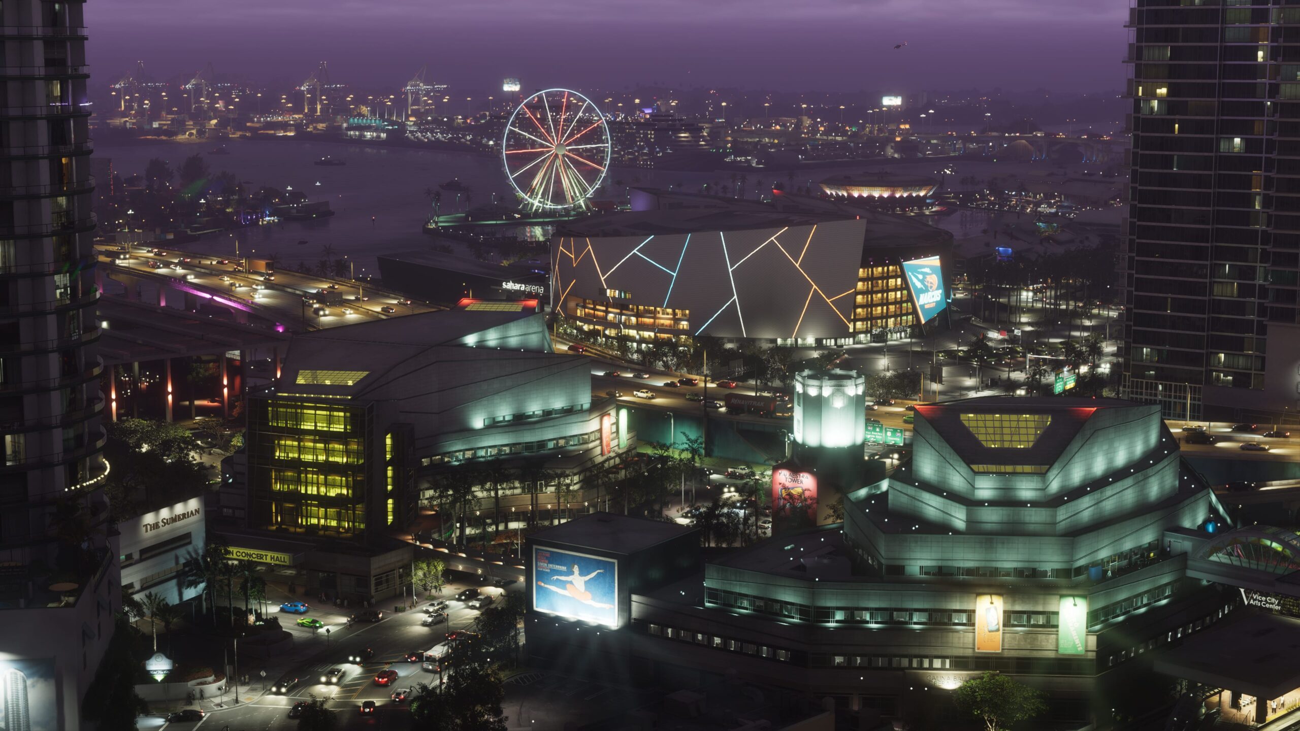
What size is the GTA 6 map?
Nobody outside Rockstar has an official number. Three sources give measurements, and they can’t all be correct.
| Source | Estimate | Note |
|---|---|---|
| Strategy guide, launch eve | about 175 square km (16 by 10.9 km) | 35% of it water |
| Pre-launch article, June | 118 to 132 square miles (about 300 to 340 square km) | Marked as speculative |
| Pre-launch article, September | about 125 km or 83 km | Drawn from a leak |
The second range comes to about 2.4 to 2.7 times the size of GTA V. The 175 square kilometre figure is measured a different way. Since the methods differ, these numbers don’t belong in the same comparison.
How does it compare with earlier games?
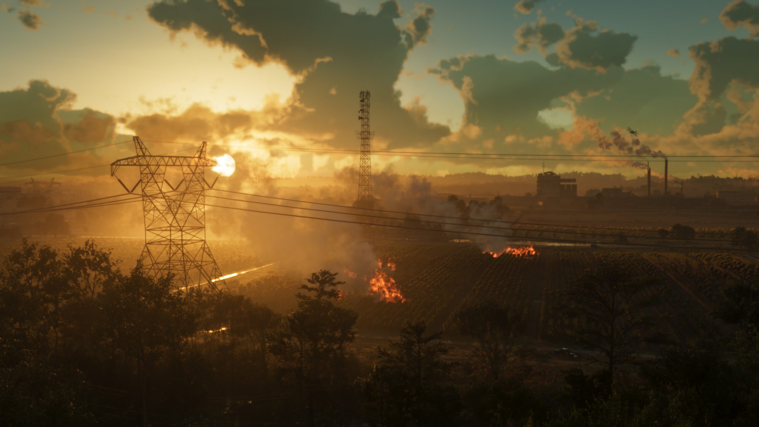
Three guides make the same relative claims. They say the map is roughly double the size of GTA V’s and around triple Red Dead Redemption 2’s, and that Vice City alone is about twice the size of Los Santos. They also describe the full landmass as close to the size of GTA IV, GTA V and Red Dead Redemption 2 put together.
One guide points out that much of the area is water, so the playable land is somewhat smaller than it appears. The same guide says the map is denser and has more interiors you can enter.
Which counties does GTA 6 have?
Rockstar hasn’t published a county list or a county map. The names come from trailers, screenshots and community research, and the lists don’t match.
| Source | Counties named |
|---|---|
| Strategy guide, launch eve | Mariana, Vice-Dale, Kelly, Leonard and Lummox (five) |
| Pre-launch explainer, June | Vice-Dale, Leonard, Kelly, Mariana and Ambrosia |
| Features guide | Five counties, no full list read |
Lummox County shows up on only one list, and Ambrosia County only on the other. The two lists don’t even agree on where Leonard County sits: one puts it in the south-east, the other in the north-east.
Kelly County needs its own note. In a trailer, a freeway sign reads Kelly County to VCI Airport. One guide treats that as nothing more than a trailer sign, while other guides treat Kelly as a real county. So don’t read this as five counties confirmed by Rockstar.
What should you check in a size figure?
Start with the unit. The 125 km and 83 km numbers are lengths, not areas, so without more detail they can’t be compared with square kilometres or square miles. Then see whether water is counted. One guide says water is 35% of the map, and another cautions that the playable land is smaller than the total suggests.
Last, look at the date. The June and September numbers were written before launch, based on trailers and a leak. Only the launch-eve guide says it measured the final map, and it could be wrong as well. We list all three as estimates until someone checks them against the game or a Rockstar statement.
What areas belong to each county?
Here is the strategy guide’s breakdown (its data may be shared with other guides):
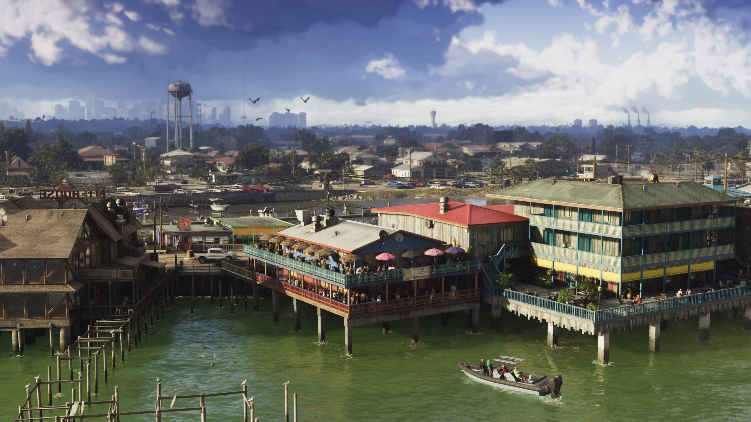
- Mariana (south): Southwind, Key Lento, Pelican Valley swamps, Watson Bay, Grassrivers, Capri and North Mariana.
- Vice-Dale (Vice City): Downtown, Little Cuba and Vice Beach.
- Kelly (north-west): Port Gellhorn, Draper Island and North Kelly.
- Leonard (north-east): Belville, Waning Sands and Richard Barebone State Park.
- Lummox (north): Grayson, Bonanza, East Lummox and Millport.
How many icons are on the map?
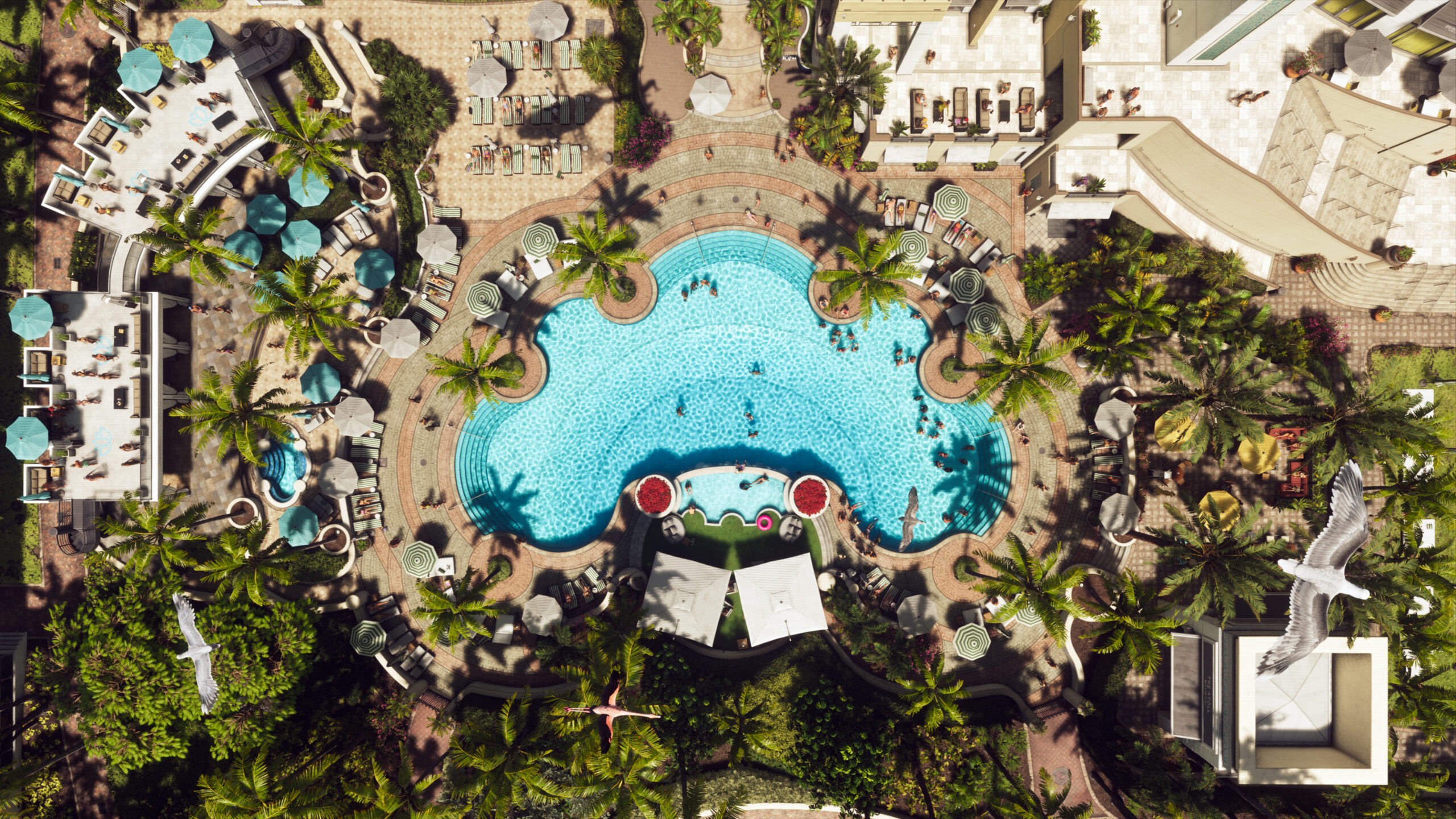
One guide’s map page, supported by its own checklist, counts 39 gang operations, 22 bank jobs, 35 smash and grabs, 57 gas stations, 72 convenience stores, 87 cafes and takeout spots, 122 bars and 118 street food vendors. It also tracks 91 stick-ups, 50 of them required. Each of these counts comes from that one guide.
Another guide lists a zoo, a stadium, an airport and more than 170 animal species, and that also comes from a single source.
Which regions belong to which county?
That’s only partly known. The strategy guide puts Vice City in Vice-Dale County and Port Gellhorn in Kelly County, and a property list matches on both. Grassrivers and Watson Bay are listed under Mariana. Rockstar hasn’t released a county map, so the pairing of the six named regions with the five county names is still the community’s reading.
What remains unconfirmed?
- An official figure for the map size.
- Where exactly the county borders run.
- Whether all regions are open from the start.
Rockstar plans to offer a poster map as a free download from 19 November 2026. Only one source has reported this so far, and the poster may answer some of these questions. Until then, treat any map image on a fan site as an estimate.
FAQ
How big is the GTA 6 map?
There’s no official figure. Estimates run from roughly 175 square kilometres to roughly 300 to 340 square kilometres, and the guides measure in different ways.
Is the GTA 6 map bigger than GTA 5?
Yes, according to three guides, which put it at about double the size of GTA V’s map. Those are relative claims, not official figures.
How many counties are in GTA 6?
Rockstar hasn’t said. One guide lists five (Mariana, Vice-Dale, Kelly, Leonard and Lummox), and another names Ambrosia in place of Lummox.
Is the GTA 6 map mostly water?
One guide puts water at 35% of the map. Another says much of the area is water, so the playable land is smaller than it appears. Both are estimates.
Is there an official GTA 6 map?
One is planned: a free printable poster map on the official site from 19 November 2026, reported by only one source so far.